In our previous post, we featured part one of a Q&A with Patrick D. Smith, the Manager of Technology Development, Polar Research Support at the NSF, who discussed a recent RFI for COMSATCOM services for the Antarctic McMurdo Station, the importance of McMurdo and why the station’s location makes it essential in weather forecasting and other important missions.
In part two of our conversation, Mr. Smith discusses the challenges that this advantageous location in the Antarctic creates for the delivery of COMSATCOM, why the agency is still interested in COMSATCOM despite these challenges and the schedule for getting increased bandwidth and a new satellite earth station operational in McMurdo.
Here is what Mr. Smith had to say:

GovSat Report: What challenges does the Antarctic location create for SATCOM from McMurdo?
Mr. Smith: The advantage of McMurdo from its extreme high southern latitude causes a significant disadvantage in terms of viewing geosynchronous (GEO) communications satellites.
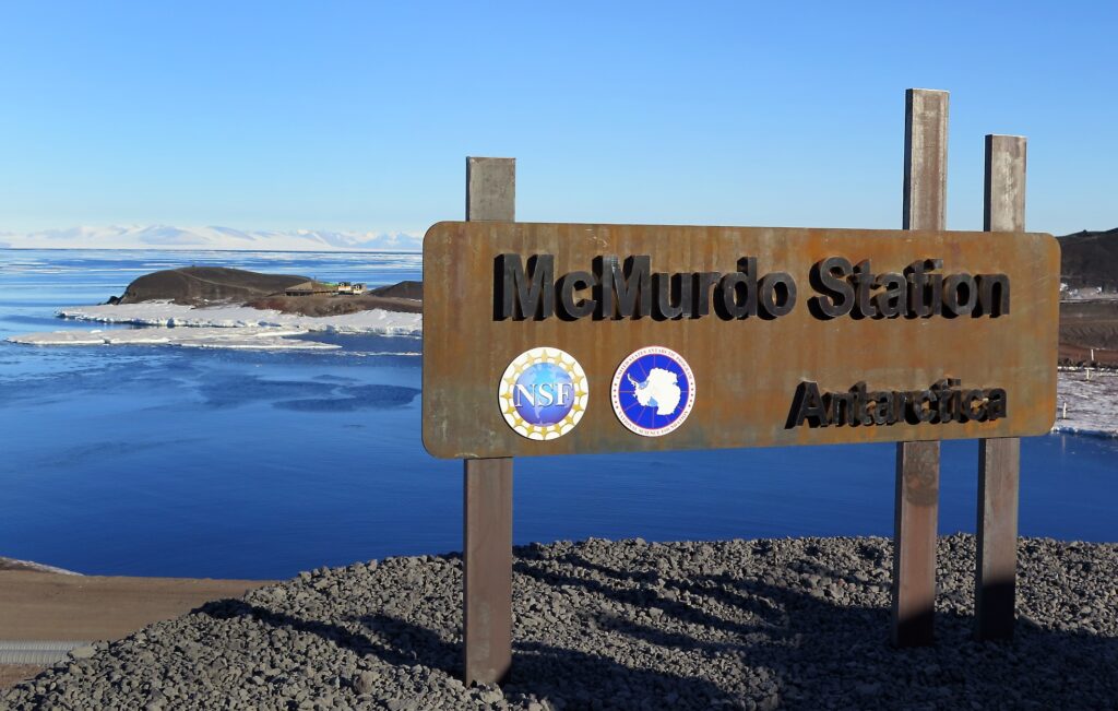
A GEO satellite in an orbital slot directly due north of McMurdo appears only 3.5° above the McMurdo horizon. Any local terrain, such as hills or mountains, can easily block the view of the sky. McMurdo happens to be located on the southern tip of a small peninsula of Ross Island, which has as its dominant feature a 13,000 ft. active volcanic mountain – Mt. Erebus – in its center.
McMurdo’s northern sky is blocked by this feature and by smaller extinct volcanic cinder cone hills immediately surrounding McMurdo. This limits the portion of the sky that is occupied by GEO satellites – the “GEO arc.” The original McMurdo earth station was located at Black Island, some 20 miles south of McMurdo, to allow for line of sight clearance of Mt. Erebus to the only viable GEO communications satellites at the time (circa 1985).

An additional challenge comes from the fact that the GEO arc in view by McMurdo is that of the Pacific Ocean Region. Due to the large expanse of open ocean without land masses, the preponderance of commercial GEO satellite service that is available is typically directed for East-West service between North America and the Asia-Pacific, with some degree of regional/spot coverage for the scattered Pacific Islands.
Service to Australia and New Zealand typically is regional in nature and without satellite beam footprints extending to McMurdo’s latitude. Largely, McMurdo can only depend on the international satellite operators who provide global beams (C-Band), which are few and highly subscribed. Thus, McMurdo has a tenuous foothold on GEO satellite communications.
GovSat Report: In light of these challenges, why is the NSF still looking at COMSATCOM services for connecting McMurdo?
Mr. Smith: The evolution in the NSF and tenant agency demand for increased satellite communications capability is coincident with changes in the Pacific Region service plans of the regional and international operators. More opportunities are opening for occupied orbital slots within the limited clear view available to McMurdo. This allows the NSF to avoid the recourse of continued use of the Black Island Telecommunications Facility.

Also, satellite operators are formulating plans for future deployments in the region and are considering the introduction of new technologies – such as high throughput satellites – that could have substantial cost and performance benefits for NSF and its partners.
GovSat Report: Industry response to the RFI ended on May 6, 2015. What is the timeline for the NSF to get this new system and equipment installed and operational?
Mr. Smith: The exact schedule is still under formulation. The range in “need dates” is roughly Q1 of 2021 to Q1 of 2023. However, capacity could be utilized with an earlier start date.
One pacing item in the schedule currently envisioned is that of the construction and commissioning sequence needed for a newly-constructed satellite earth station immediately adjacent to McMurdo Station. McMurdo is serviced by an annual cargo ship for resupply and the transport of “big/heavy things,” such as the antenna, shelter, foundation, radome, and other equipment that will be needed for a new satellite communications earth station.
Timing has to coincide with the cargo receipt window for loading the cargo vessel in California for its annual arrival. Missing a deadline by a month would mean a year slip in schedule.
A typical Antarctic project of this nature would nominally allow for a three year duration –year one for planning and design, year two for acquisition and logistics transport, and year three for construction and commissioning. The NSF intends to continue work on schedule refinement based on the responses received to the RFI.