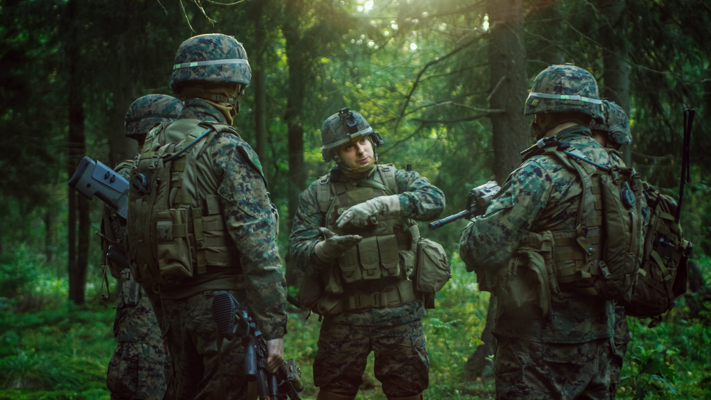
In any military mission, there are unknowns. Topography, weather, and road conditions can be difficult to predict, leaving teams pouring over maps, reports and GEOINT for hours.
However, if the military could aggregate all available information into one place, soldiers could more easy and rapidly visualize their environment, make educated decisions and reduce ambiguity and loss. This is the promise of Virtual Sandtable Technology (vST).
Virtual Sandtable Technology brings together multiple points of data to create a visual model used in training and mission deployment.
By aggregating and analyzing data from road maps, topography maps, satellites, and weather reports, vST produces a model that showcases terrain, assets, and contingencies, creating an operational picture that can be viewed in-arena or from multiple places across the globe. The system can be used to train soldiers on upcoming missions, follow the mission in real-time, and debrief following mission completion using the data collected.
To learn more about this technology we spoke with Aaron Schradin of vST who explained how the technology is currently being used, different applications for the system, and how the military can benefit from its use.
Government Satellite Report (GSR): Virtual Sandtable brings together multiple points of data. How does this help soldiers in-arena absorb information?
Aaron Schradin: If I have topography maps, road maps and satellite maps, all these different inputs could become overwhelming. Virtual Sandtable aggregates a lot of the information – such as the color, topography, and roadmaps – and displays them in our software as one layer that is stereoscopic and that a person can immerse themselves in.
This allows them to become familiar with the ground truth and learn what they are going to be up against. This technology changes peoples’ comfort levels when they already know what a mission will look like. They know what they are getting into prior to arriving.
GSR: How did this vST solution get its start? How has the system evolved?
Aaron Schradin: We were originally tasked with being able to create a virtual reality mission planner using all over-the-counter toy products. So, we created a system using a toy drone with a laptop and a horrible headset that allowed a forward-operating person in reconnaissance to survey an area undetected and then be able to make decisions about who’s involved and what kind of assets are needed.
It helps answer – how can we use the terrain and environment to give us an unfair advantage?
Since then, the system has evolved from not only looking at the area to figure out if it’s a feasible mission, to training soldiers to their responsibilities as part of the objective. We use thick and thin data pipes to show assets moving in real-time on the battlefield. As that group deploys, the commander can be looking at variables as they change, like weather or injuries, send out a medevac, change landing zones, and understand where adversaries are.
The information shows up to the soldier on their Android Tactical Assault Kit (ATAK) device in real-time. When you start doing joint operations, this ends up being the common operational picture that keeps everyone on track.
GSR: What other uses does the system have? Are these solutions deployed today?
Aaron Schradin: When you take a person out of the environment that is the battle, it’s different than it used to be. Today, soldiers are plucked out by helicopters and are back to base quickly. We’re finding through some of our partnerships with psychologists that allowing the soldier to get back into this environment, using the vST in the debriefing report – talking about who was where, what they were doing, playing back the information – it allows them to ramp down properly and be ready to be onstage again soon. The system helps reduce casualties, both physical and mental.
GSR: Paired with Medium Earth Orbit (MEO) satellite, does the software have faster speed and less pixilation? How does it benefit?
Aaron Schradin: In vST, we have a differentiating situational awareness solution for the warfighter, SES’ O3b MEO solution increases our response time over their high throughput low latency backbone. When technology gets introduced there can be significant barriers to adoption. Pairing the disruptive vST with the now mature O3b MEO backbone, combines two game changing technologies for the overall benefit of our forces. With companion technologies like ATAK, vST has less of a hurdle for implementation. This technology reduces casualties and helps condense information from a variety of points to promote better decision making throughout our military.
To learn more about Virtual Sandtable technology, click here.